Re: birds
Posted: 2018/07/07 18:22:57 UTC
77
http://c2.staticflickr.com/2/1827/43072566311_0574176f13_o.png
85
http://c1.staticflickr.com/1/842/43078859202_e7309b42e9_o.png
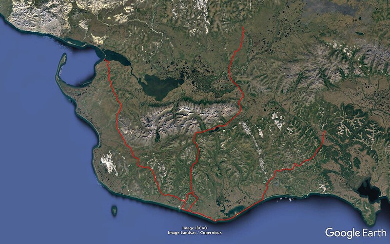
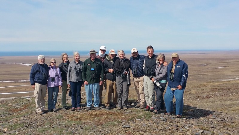
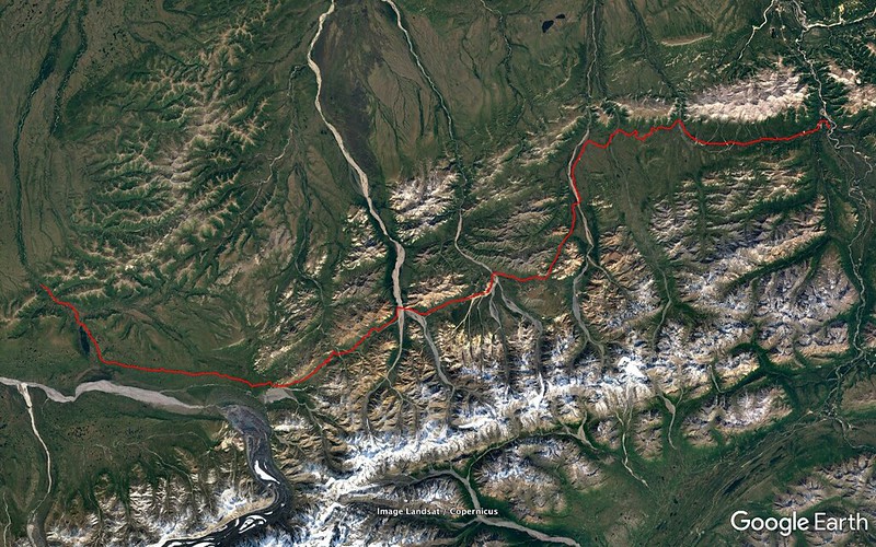
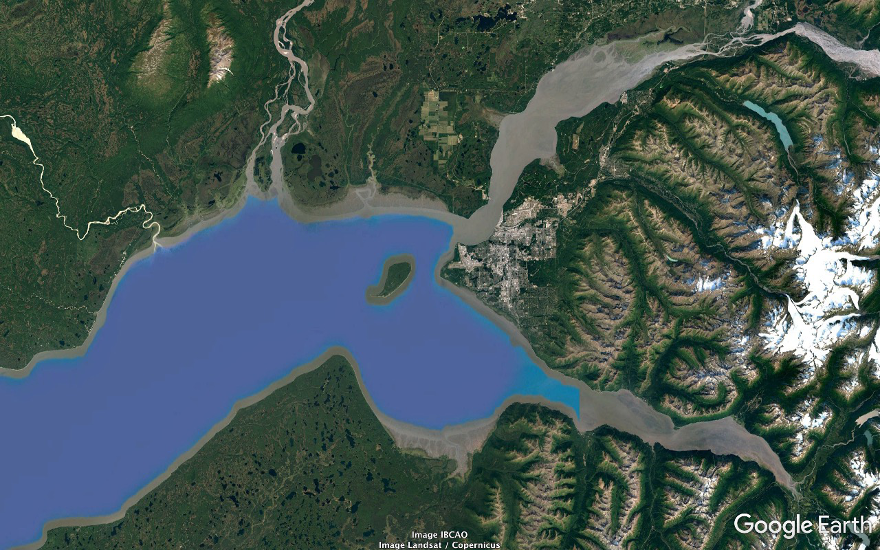
2018/06/03 we do breakfast and roll back east to do most of Council Road.
Stop at Cape Nome. Greater Scaup, Black and White-Winged Scoter... I see a gull STANDING on Norton Sound a bit to the west. Greg determines it's got itself a dead Harbor Seal.
Lotsa reruns of the cool stuff we had in the Safety Sound stretch the previous afternoon. As we turn off the beach to head inland we've got a pair of very cooperative Pacific Loons with a nest just begging to get the scope aimed at them.
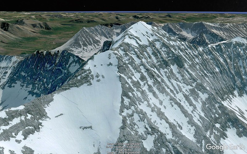
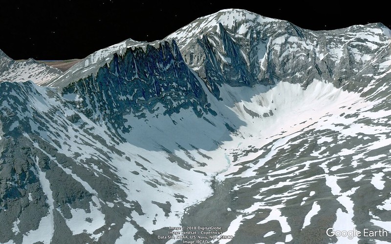
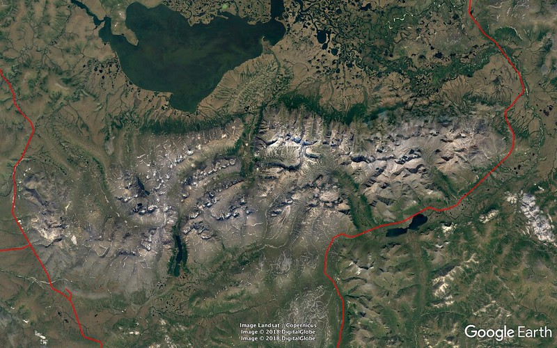
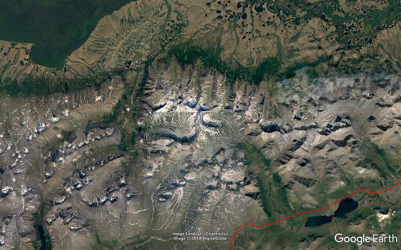
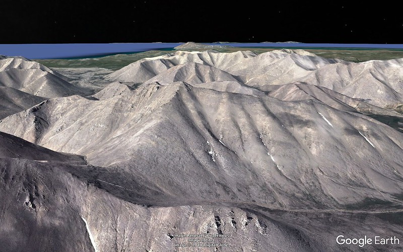
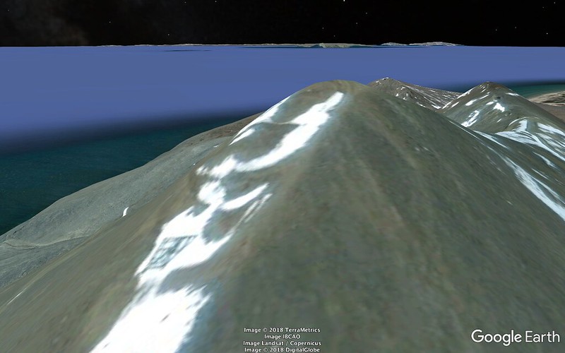
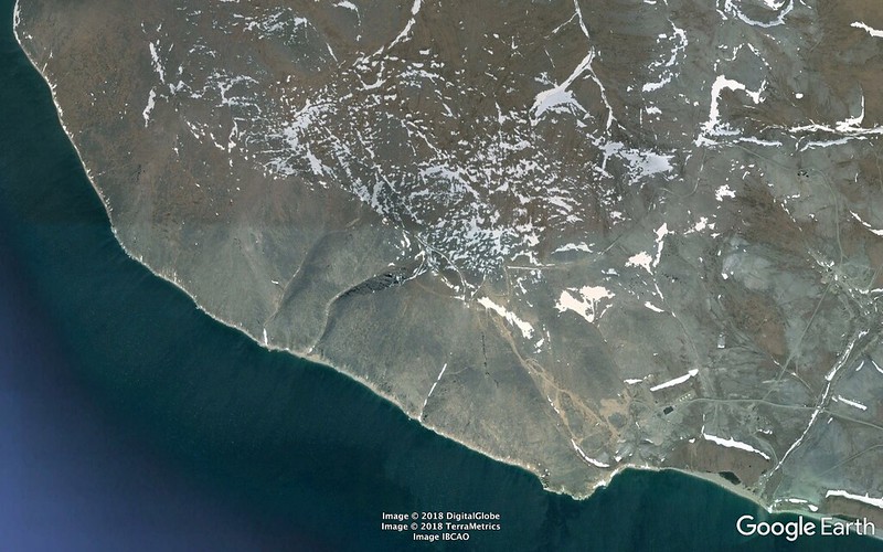
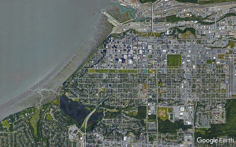
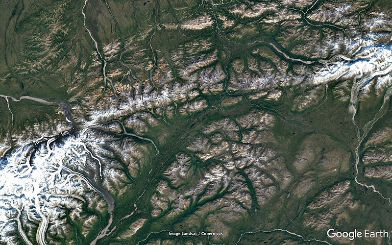
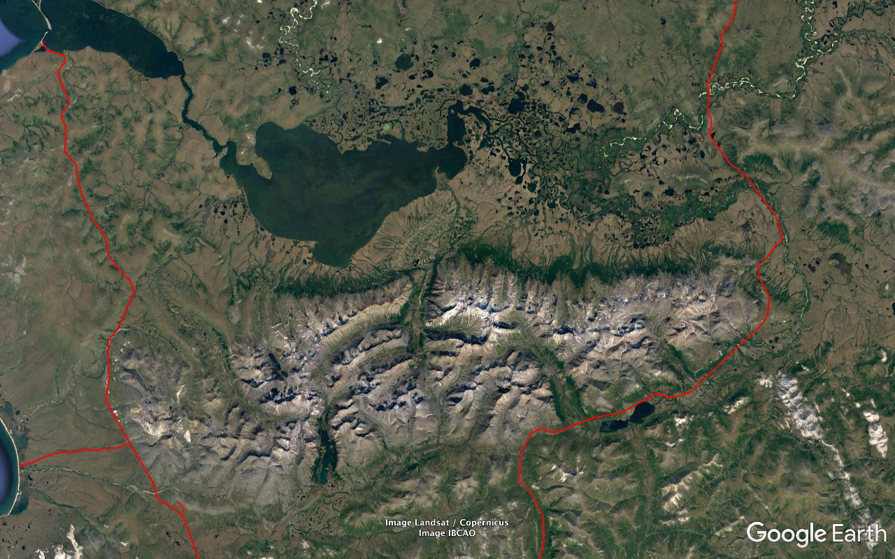
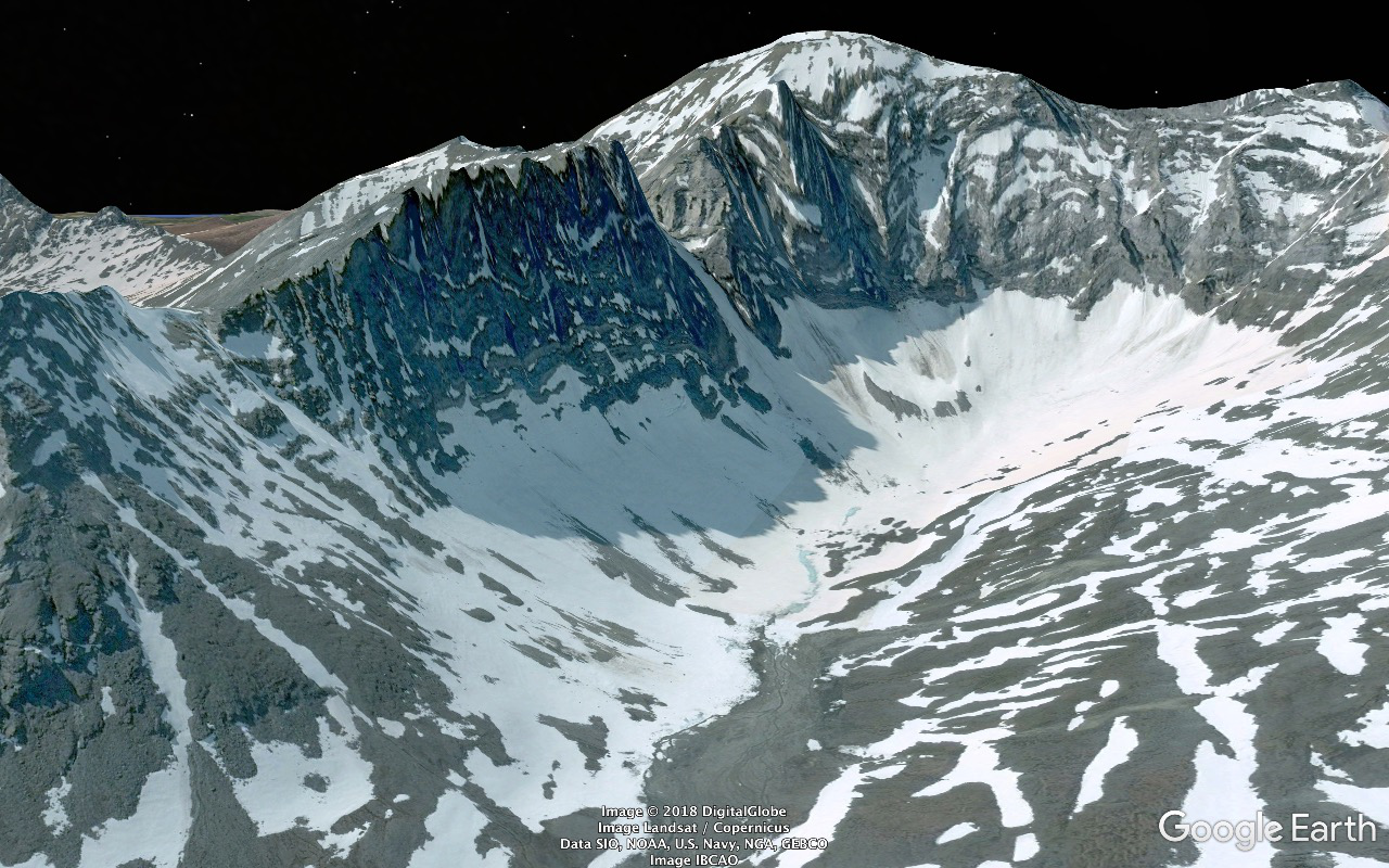
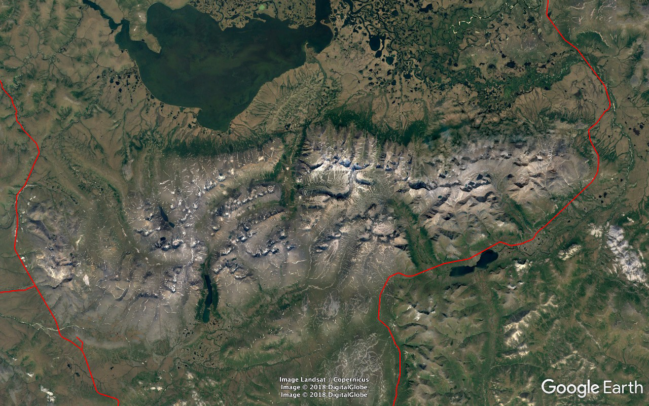
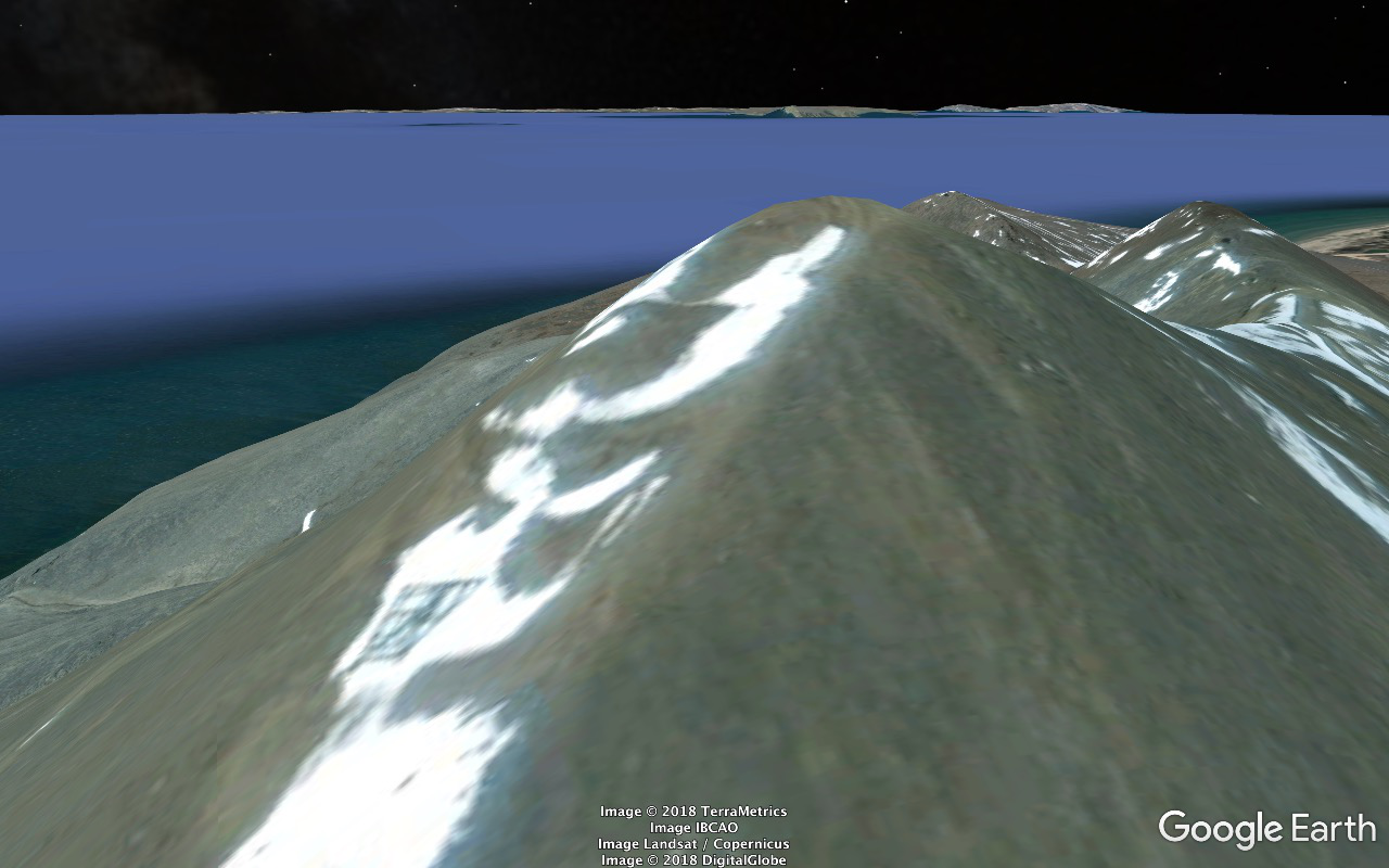
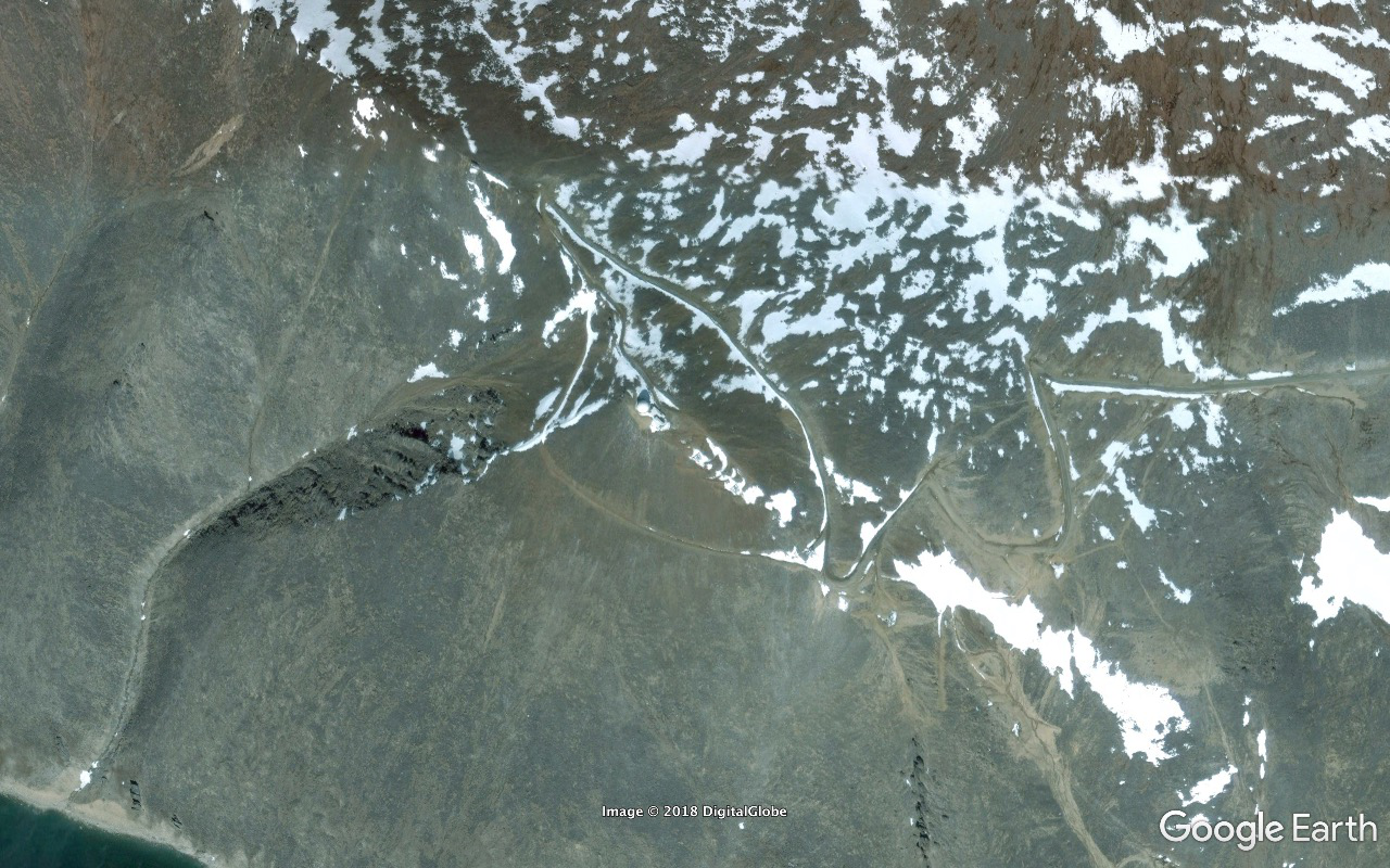
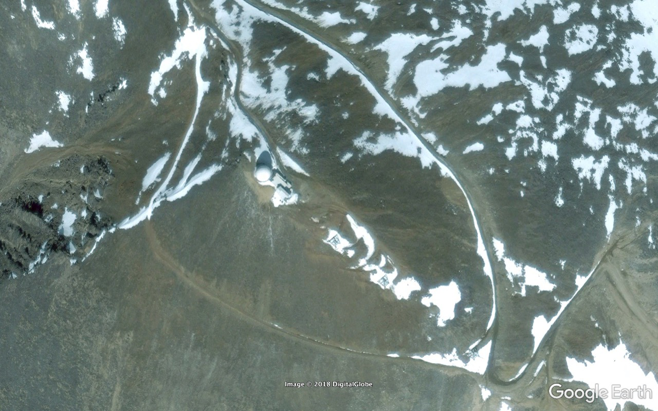
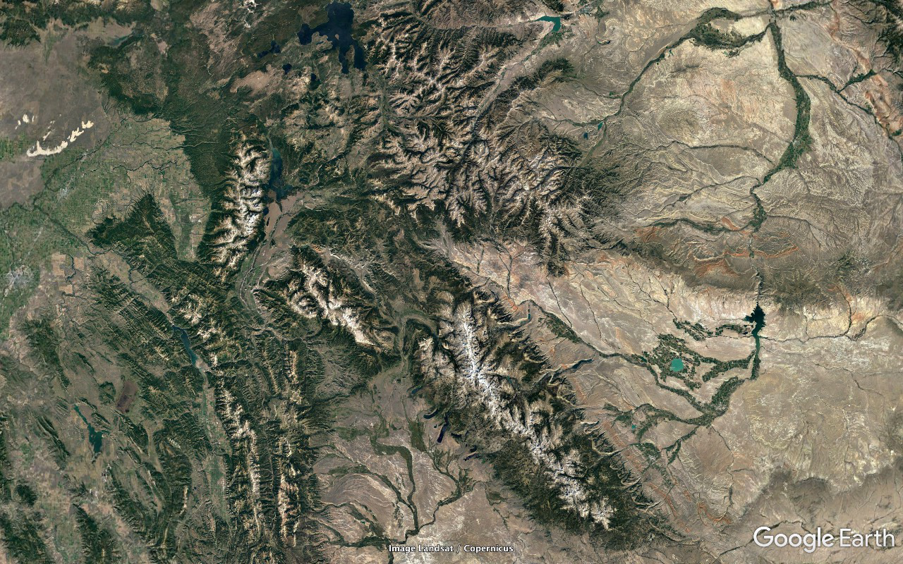
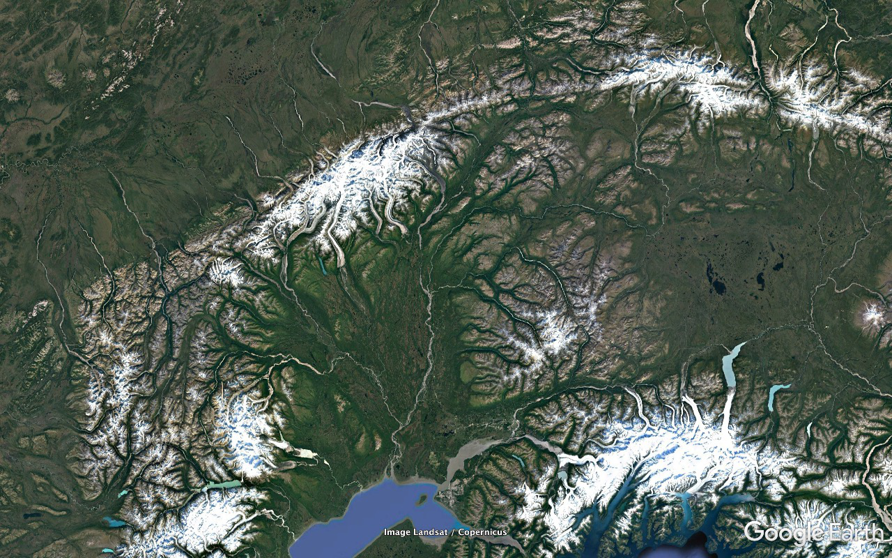
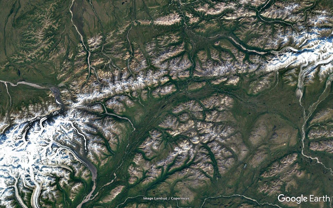
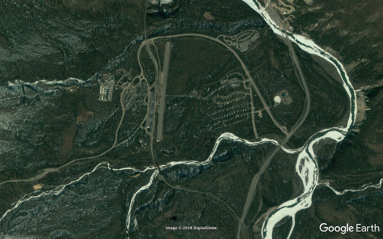
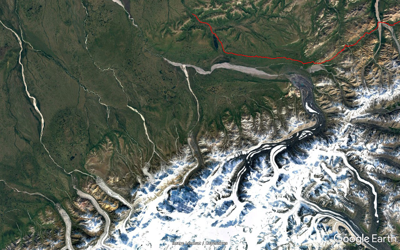
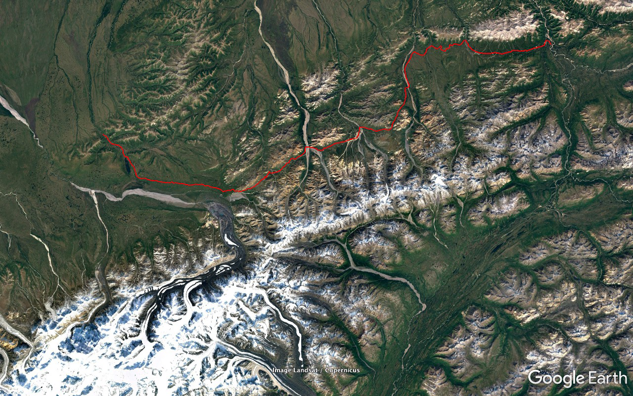
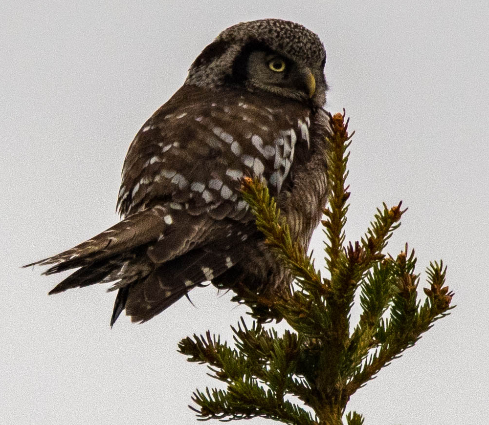
The rugged areas of the Seward Peninsula are a lot more rugged than the seem to be during prep study with Google Earth and we start climbing a lot higher and more steeply than I'm expecting. We pick up a Gyrfalcon parked on the skyline in an area of towering bare rock cliff faces in the vicinity of a known eyrie. Unlimited time available to nail him with the scope. And this is a bird that I've never seen before in the wild and real high on my wish list but he's not much more than a small identifiable lump and it's a bit disappointing. And that was also the last Gyr we'd have a shot at.
A couple Muskox browsing on willow shoots just beginning to leaf out just off the right side of the road. Everybody piles out with cameras. I want one of the zillions of little tufts of wool they've left on nearby branches and twigs. Don't wanna spook them but as I approach they continue to browse. Accomplish mission and retreat with no damage done and turn my attention to some of the nearby feathered stuff. But after a while I see the pair a hundred yards back down the road crossing it and heading away at a gallop. Looked like people had pushed the limits too much for too long.
Shortly afterwards and not far up the road scored a small herd with calves grazing on a slope up from the left side of the road. And a couple more such groups before the outing was finished.
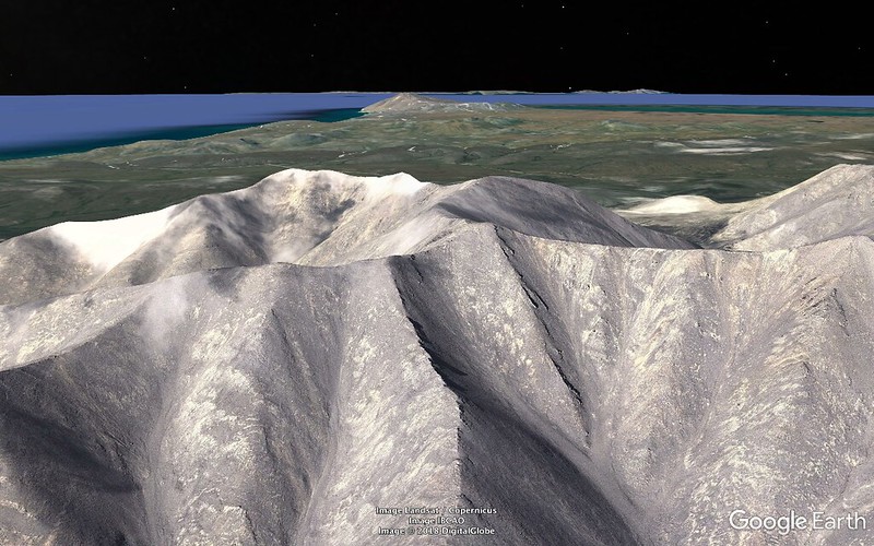
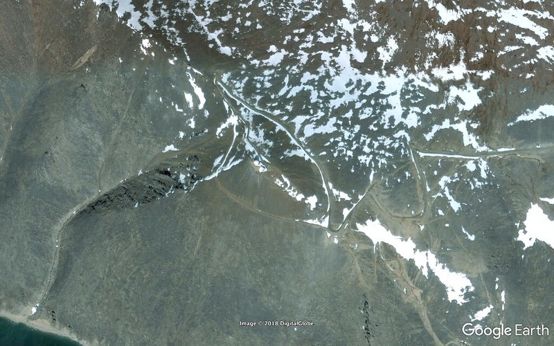
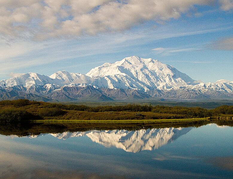
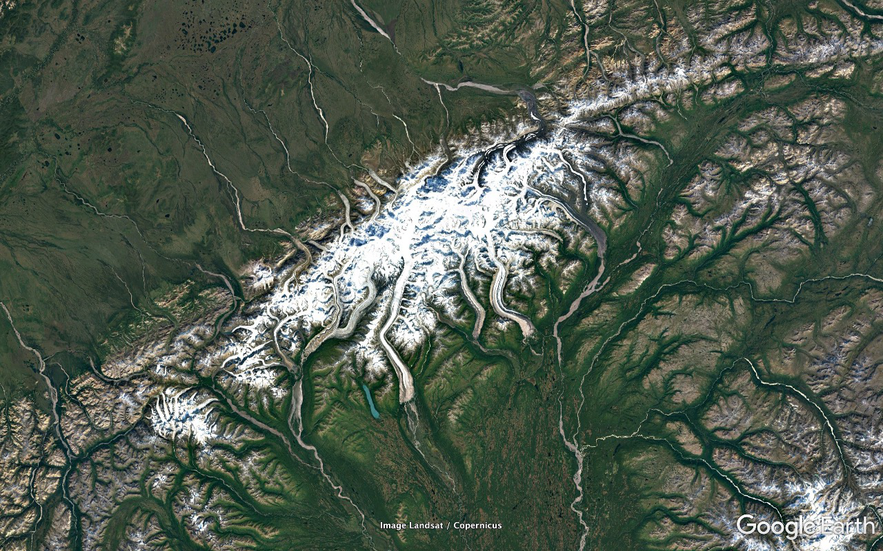
Road altitude maxed out at about 1280 feet at Skookum Pass. That was a lot higher that I'd been expecting during prep. We pulled out at the Pull-Out for bag lunch. Plenty of snowfields remaining and spectacular views all around in the interior and back to the Sound.
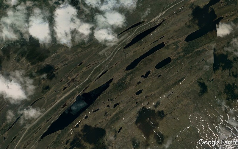
One of the snow slopes climbing away from parking area was sporting the tracks left by a Grizzly. I'd been in Grizzly areas several times before but this was the first time I'd been in a Grizzly area complete with immediate physical proof of it being a Grizzly area. Pretty cool being in out in the open unprotected in turf in which a huge apex predator could eat you if it felt like it.
Towards the other end of the food chain picked up a Northern Wheatear flitting around on some snow patches edges.
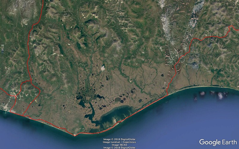
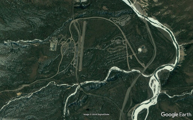
Continued on and down out of the mountains into the Niukluk River plain in the hundred foot neighborhood and land of trees. Fascinating and beautiful habitat and landscape. Stopped just before the Bear River Bridge at a road maintenance facility and worked a patch bottomlands woods for warblers and other passerines. I found some Moose tracks alongside the utility building. Tons of Tree Swallows in beautiful light around the bridge.
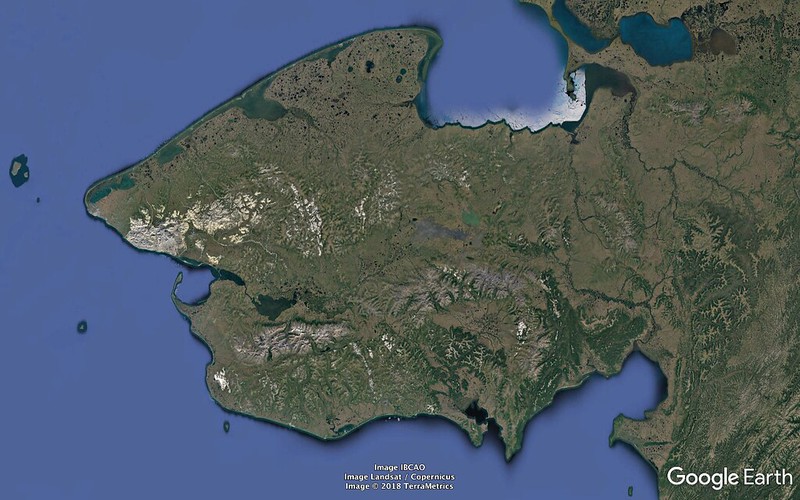
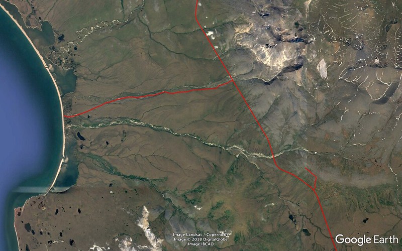
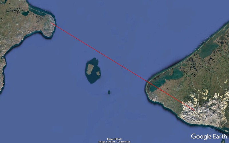
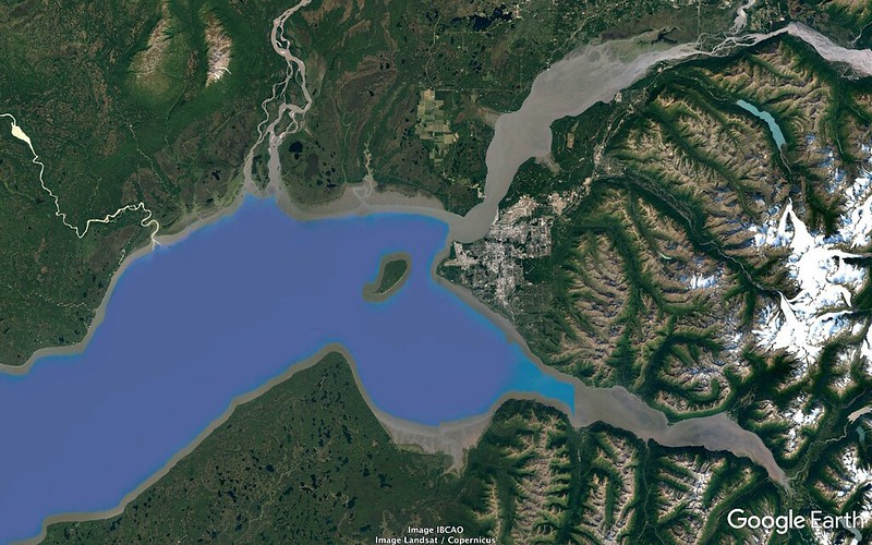
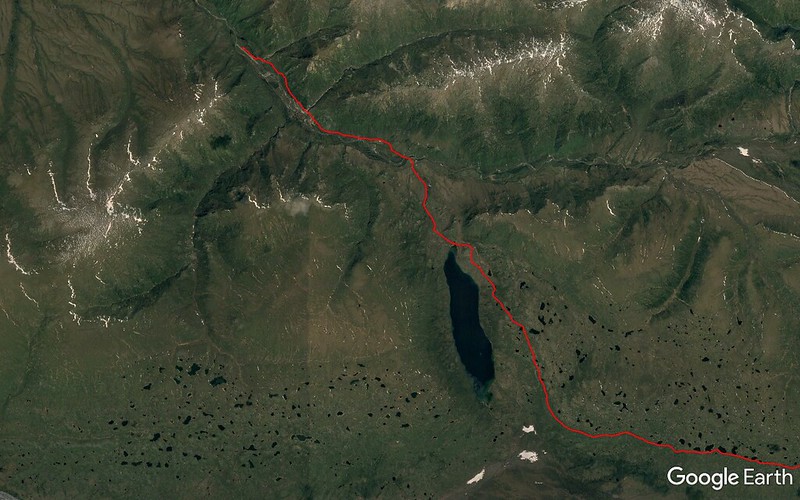
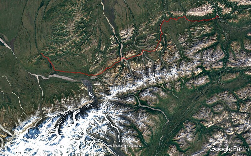
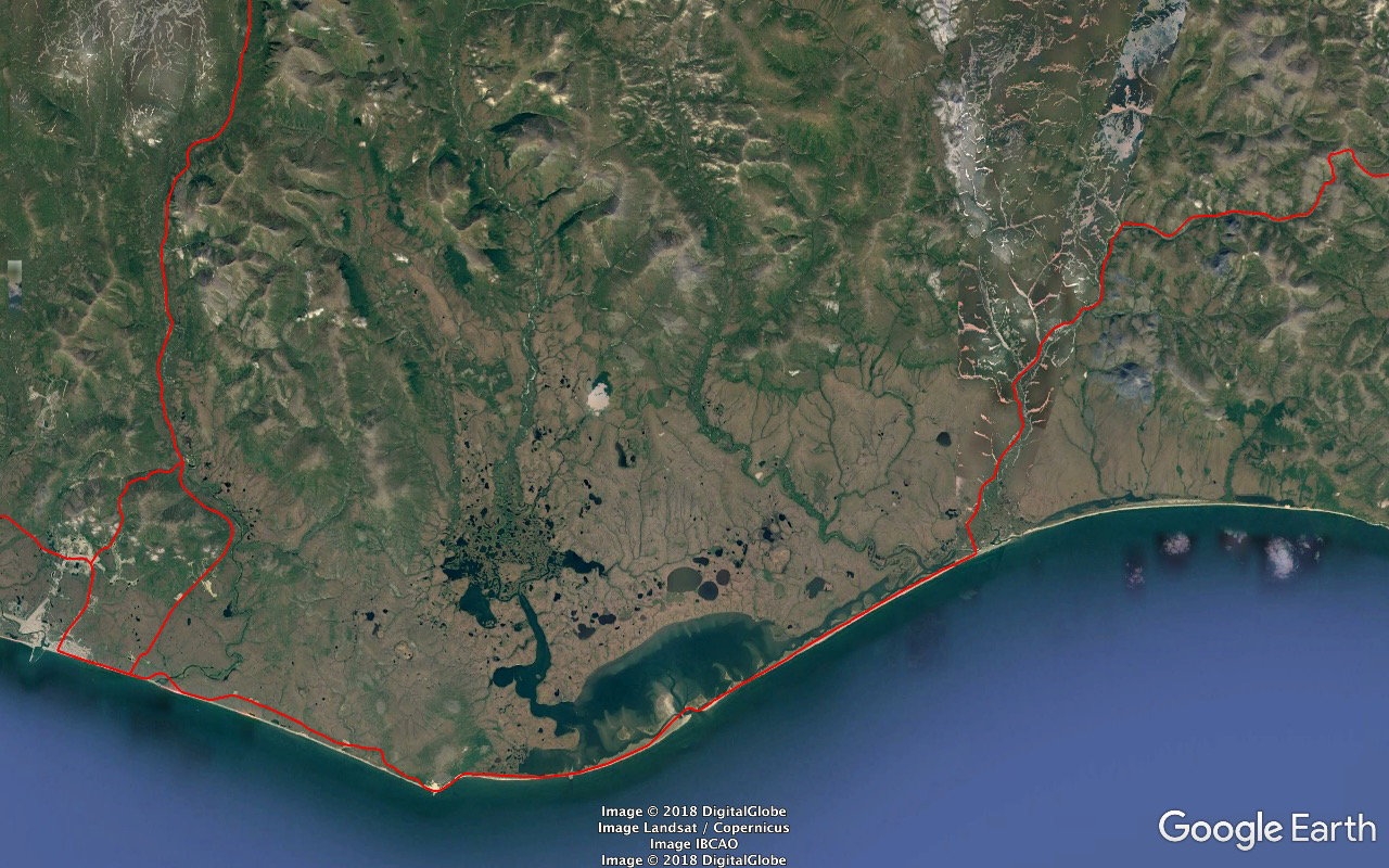
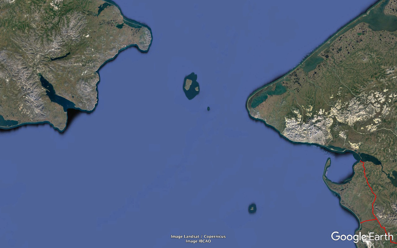
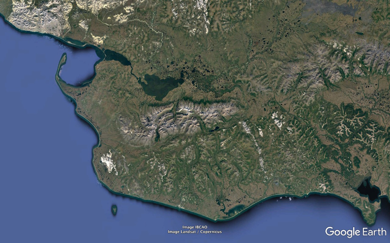
And I was disappointed and slightly pissed off that that was gonna be our farthest extent. Council's just beyond the end of the road and on the far side of the Niukluk River (which drains SSW a couple dozen crowflight miles from that point into the Golovnin Lagoon then to Golovnin Bay and to Norton Sound). From there one either carefully crosses in an appropriate 4WD vehicle in appropriate river conditions or parks and crosses via boat. I'd have liked to have seen it and been able to say that we'd done the entire road and it was just a wee bit under two more miles to the end and the scenery, habitat, and day were all beautiful.
Worked the coast again on the home stretch. In one little gem mixed beach flock we scored Surfbird, Sanderling, Dunlin, and both Black and Ruddy Turnstone.
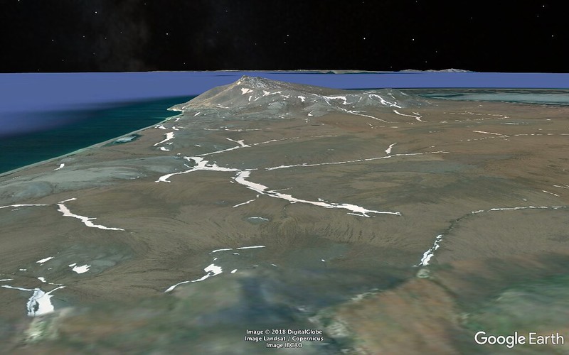
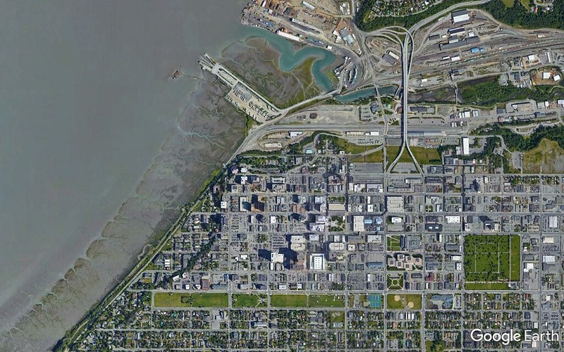
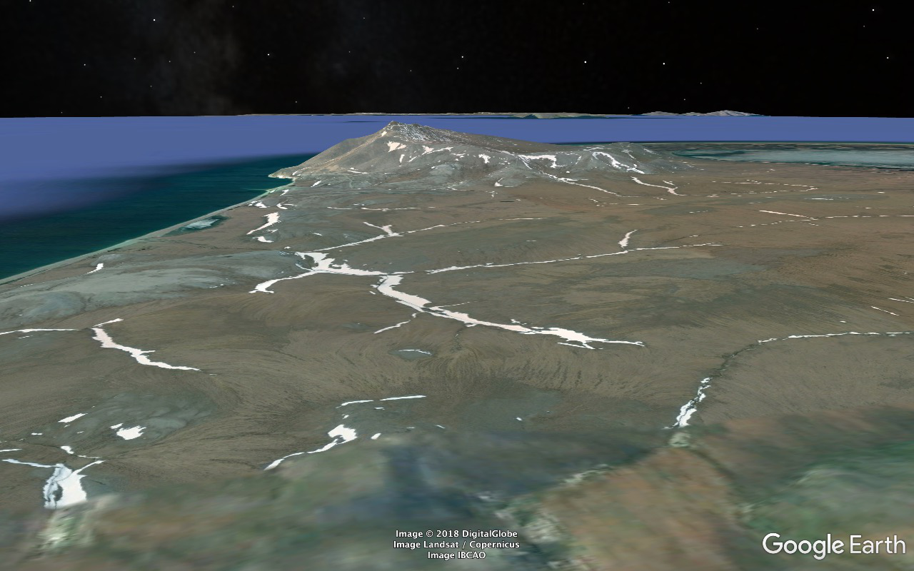
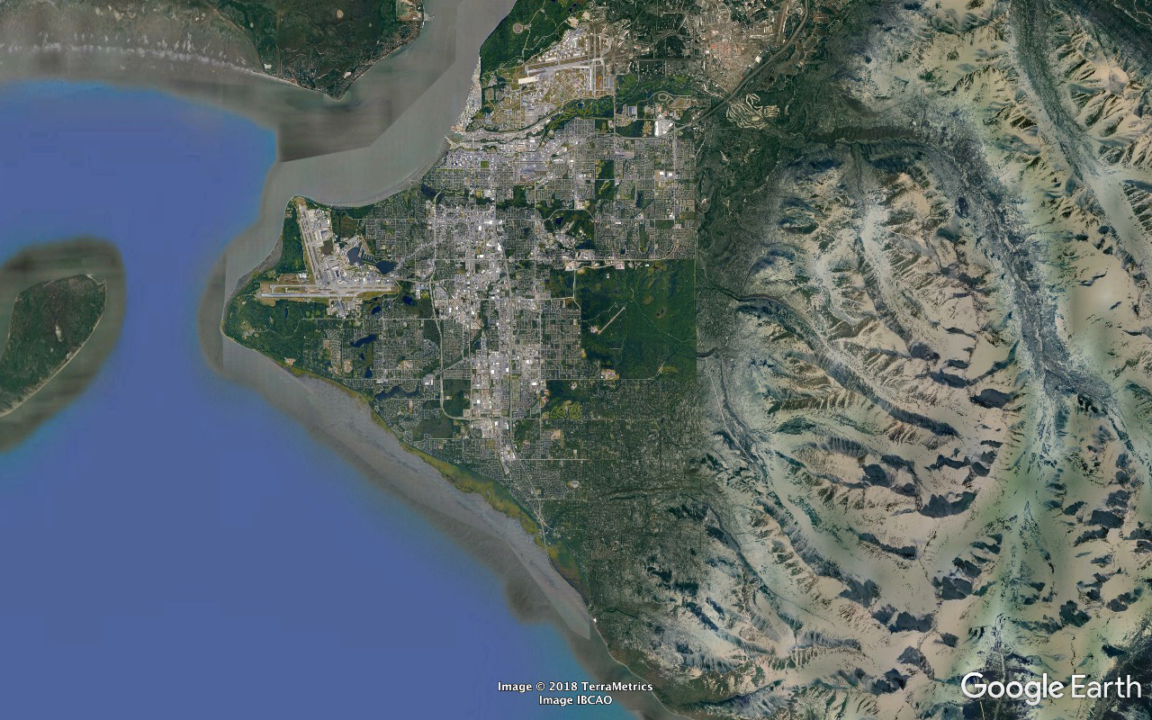
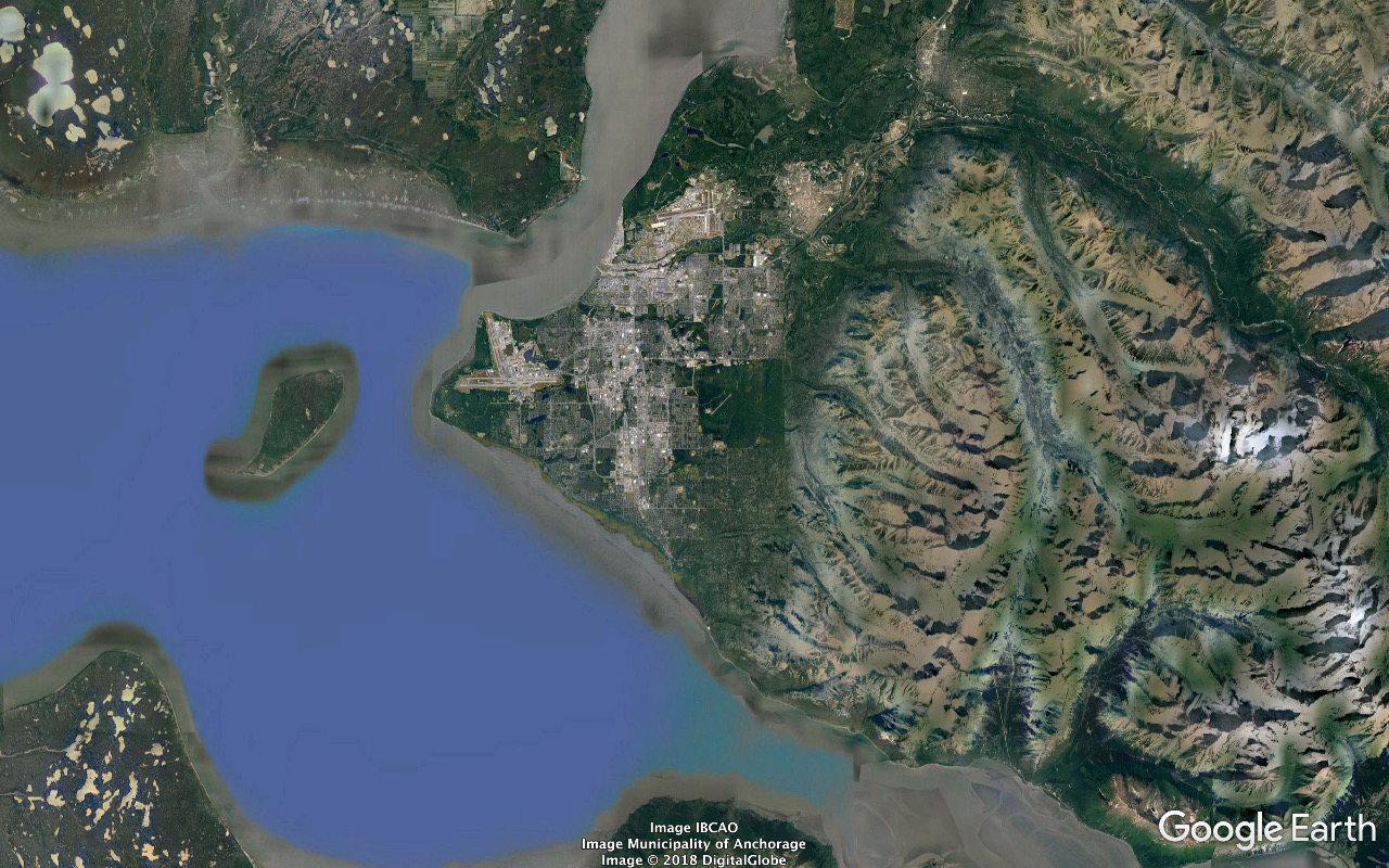
After we cleared Cape Nome and as we approached Nome in late afternoon I was blown away by the skyline. Anvil Mountain looms up over eleven hundred feet pretty quickly and massively from the back side of the town and was really impressive. Didn't recall it registering from the return trip on the previous afternoon's outing. Probably another casualty of the brain fry.
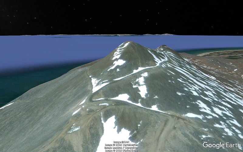
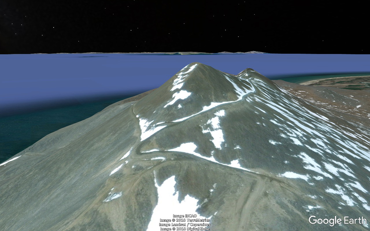
The trip brochure stated that topping out and taking in the "majestic views of the Bering Sea and King Island" was something we WOULD be doing. But maybe that would've involved a trade-off that would've cost us something on the wildlife tally. I dunno. And I was stressed a bit into my breaking point as things were anyway.
http://c2.staticflickr.com/2/1827/43072566311_0574176f13_o.png
85
http://c1.staticflickr.com/1/842/43078859202_e7309b42e9_o.png
2018/06/03 we do breakfast and roll back east to do most of Council Road.
Stop at Cape Nome. Greater Scaup, Black and White-Winged Scoter... I see a gull STANDING on Norton Sound a bit to the west. Greg determines it's got itself a dead Harbor Seal.
Lotsa reruns of the cool stuff we had in the Safety Sound stretch the previous afternoon. As we turn off the beach to head inland we've got a pair of very cooperative Pacific Loons with a nest just begging to get the scope aimed at them.
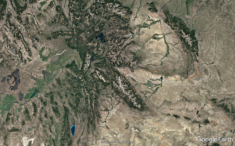
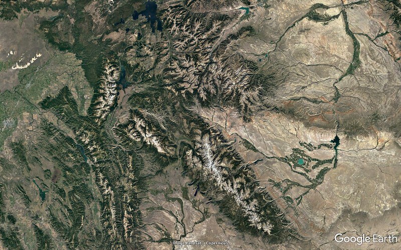
The rugged areas of the Seward Peninsula are a lot more rugged than the seem to be during prep study with Google Earth and we start climbing a lot higher and more steeply than I'm expecting. We pick up a Gyrfalcon parked on the skyline in an area of towering bare rock cliff faces in the vicinity of a known eyrie. Unlimited time available to nail him with the scope. And this is a bird that I've never seen before in the wild and real high on my wish list but he's not much more than a small identifiable lump and it's a bit disappointing. And that was also the last Gyr we'd have a shot at.
A couple Muskox browsing on willow shoots just beginning to leaf out just off the right side of the road. Everybody piles out with cameras. I want one of the zillions of little tufts of wool they've left on nearby branches and twigs. Don't wanna spook them but as I approach they continue to browse. Accomplish mission and retreat with no damage done and turn my attention to some of the nearby feathered stuff. But after a while I see the pair a hundred yards back down the road crossing it and heading away at a gallop. Looked like people had pushed the limits too much for too long.
Shortly afterwards and not far up the road scored a small herd with calves grazing on a slope up from the left side of the road. And a couple more such groups before the outing was finished.
Road altitude maxed out at about 1280 feet at Skookum Pass. That was a lot higher that I'd been expecting during prep. We pulled out at the Pull-Out for bag lunch. Plenty of snowfields remaining and spectacular views all around in the interior and back to the Sound.
One of the snow slopes climbing away from parking area was sporting the tracks left by a Grizzly. I'd been in Grizzly areas several times before but this was the first time I'd been in a Grizzly area complete with immediate physical proof of it being a Grizzly area. Pretty cool being in out in the open unprotected in turf in which a huge apex predator could eat you if it felt like it.
Towards the other end of the food chain picked up a Northern Wheatear flitting around on some snow patches edges.
Continued on and down out of the mountains into the Niukluk River plain in the hundred foot neighborhood and land of trees. Fascinating and beautiful habitat and landscape. Stopped just before the Bear River Bridge at a road maintenance facility and worked a patch bottomlands woods for warblers and other passerines. I found some Moose tracks alongside the utility building. Tons of Tree Swallows in beautiful light around the bridge.
And I was disappointed and slightly pissed off that that was gonna be our farthest extent. Council's just beyond the end of the road and on the far side of the Niukluk River (which drains SSW a couple dozen crowflight miles from that point into the Golovnin Lagoon then to Golovnin Bay and to Norton Sound). From there one either carefully crosses in an appropriate 4WD vehicle in appropriate river conditions or parks and crosses via boat. I'd have liked to have seen it and been able to say that we'd done the entire road and it was just a wee bit under two more miles to the end and the scenery, habitat, and day were all beautiful.
Worked the coast again on the home stretch. In one little gem mixed beach flock we scored Surfbird, Sanderling, Dunlin, and both Black and Ruddy Turnstone.
After we cleared Cape Nome and as we approached Nome in late afternoon I was blown away by the skyline. Anvil Mountain looms up over eleven hundred feet pretty quickly and massively from the back side of the town and was really impressive. Didn't recall it registering from the return trip on the previous afternoon's outing. Probably another casualty of the brain fry.
The trip brochure stated that topping out and taking in the "majestic views of the Bering Sea and King Island" was something we WOULD be doing. But maybe that would've involved a trade-off that would've cost us something on the wildlife tally. I dunno. And I was stressed a bit into my breaking point as things were anyway.


